Lars Bergström
Geological Heritage Analyst
Geological heritage and environmental data
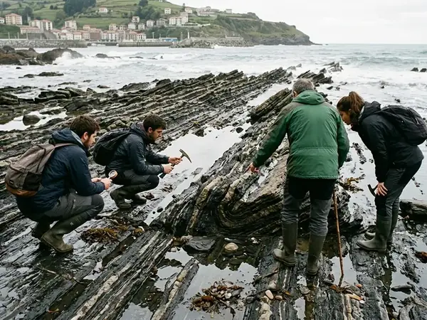
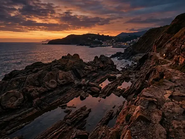
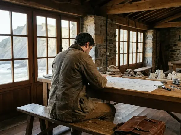
My approach to documenting Mutriku's flysch formations involves systematic stratigraphic mapping combined with GIS layering techniques. I integrate field samples from the Basque Coast with archival records to ensure precise heritage preservation metrics for Ingurumena.
PhD Geology, University of Uppsala